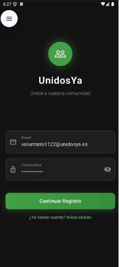
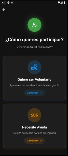
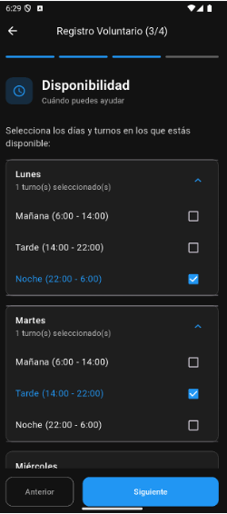
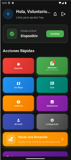
05 — App Screenshots
01
02
03
04
05
06
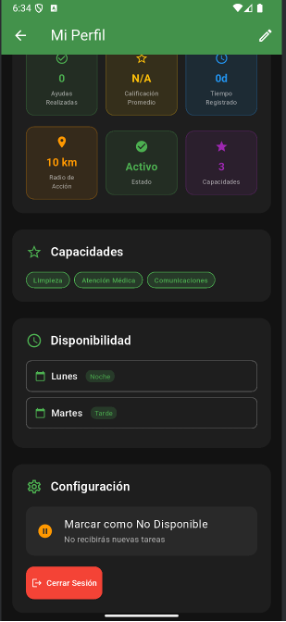
UnidosYa is an Android mobile application that coordinates affected individuals and volunteers during natural disasters. It was directly inspired by the 2024 Valencia DANA floods — the deadliest natural catastrophe in Spain since 1957 — which killed over 200 people across 75 municipalities.
More than 50,000 spontaneous volunteers mobilised, but their efforts were severely hampered by a complete lack of digital coordination tools. Coordinators were using phone calls and spreadsheets. UnidosYa was built to solve that.
The system enables real-time volunteer-to-task matching, geolocation-based mission assignment, and secure communication — all GDPR-compliant and with offline operability for disaster-affected environments.